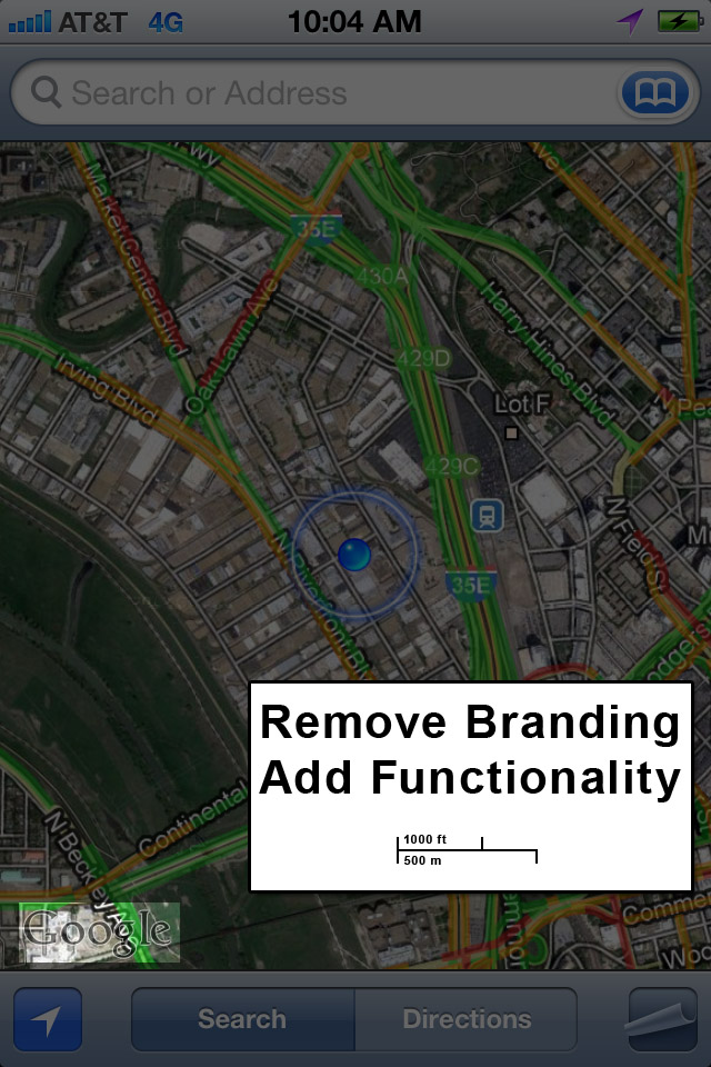
It’s a Map Emergency!
The Map Apps on both Android and iOS are missing a major feature- any sense of SCALE.
Maps are amazing things, abstracted or detailed, they provide an amazing amount of information to the user. So why has the scale been left out of mobile maps?
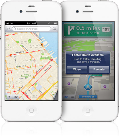
Below is an image of Apple’s new iOS 6 map app. It’s vector based, and provides turn-by-turn navigation. But it’s still missing a scale.
Recently, I was on a family vacation out of state. We were in the southern flatlands; coastal Alabama. There are almost no visible geographic features. Nothing to guide you.
This is what a glance at my phone’s map showed me:
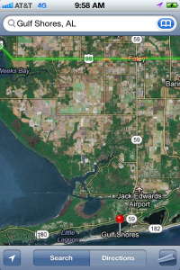
- How long should it take to reach point x,y from here? I don’t know! I’d have to type in directions and plot a course.
- How far is our rental in Gulf Shores from a restaurant in Orange Beach? I don’t know!
- I can’t just glance at the map and have any knowledge of the size of that wedge of earth that is being displayed. I can guess, based on the size of farm fields or runways in the satellite imagery…sure.
Remove the Branding and Add Functionality!
All I want is to know at a glance how far away something is, regardless of how zoomed in or out I am.
